Gatineau faces repeat on flooding, emergency plan initiated
Djeneba Dosso
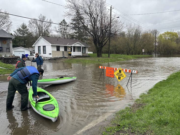
As the water levels continue to rise this week in Gatineau, shoreline residents are finding ways to make the most out of a slippery situation. Water from the Ottawa River began gradually making its way to the waterfront residential area last week, completely taking over the street following heavy rains this weekend.
The Ottawa River Regulation Planning Board (CPRRO) issued an update May 3, stating that the amount of rain received in the region has exceeded the prior week's forecast. As a result, the water levels in the Ottawa River are rising rapidly and are expected to stabilize in the next few hours, followed by a gradual rise before reaching a peak towards the end of the week. While the water levels will remain high for several days, they are expected to be below the historic levels of 2017 and 2019. The City is encouraging residents to dial 311 or view the interactive map online at gatineau.ca/crue to check if their residence is likely to be affected by flooding. The City is reminding residents that some streets may be restricted to traffic, and they can check the state of the streets on the interactive map. The City will continue to inform the population as the situation evolves. (with files from Tashi Farmilo)
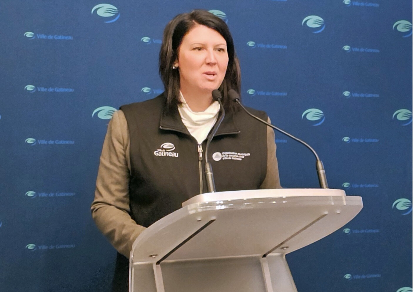
Photo: Mayor of Gatineau, France Belisle has been updating the public regularily as to the emergency response. (LR) Photo: Tashi Farmilo


